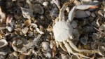
The photos show the diverse environment of the Karankawa people. The problem is that the environment the Karankawa lived among more than a hundred years ago is quite different today. Cattle driving, channel building, and invasive plants have done their fair share to transform the Gulf Coast.
All the original photos, paintings, and maps on this website are free to be used by anyone and everyone. If you would like to add your own photos to this page, please reach out.
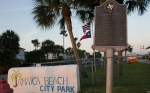
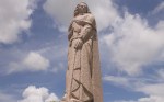
Historical marker about the Karankawa on Jamaica Beach
Excursion Two:
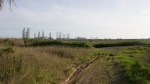
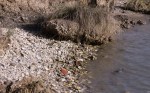
Follets Island, San Bernard Wildlife Refuge
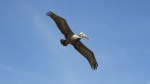
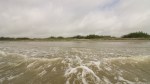
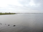
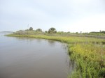
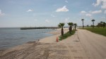
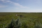
This relatively short stretch of beach, located in San Bernard Wildlife Refuge, is one of the only places south of Galveston where the ocean meets directly with the mainland. Barrier islands do a great job of protecting the rest of Texas, and the Karankawa took advantage of that, fishing and hunting along the calmer waters of the Texas’ bays.
This relatively short stretch of beach, located in San Bernard Wildlife Refuge, is one of the only places south of Galveston where the ocean meets directly with the mainland. Barrier islands do a great job of protecting the rest of Texas, and the Karankawa took advantage of that, fishing and hunting along the calmer waters of the Texas’ bays.
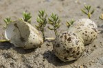
Bird eggs found on Follets Island. Another source of food of the Karankawa. De Bellisle, a Frenchman who was shipwrecked on Galveston among a group of the Akokisa, wrote that during the summer months the Indians “would come down to collect the eggs which the birds had laid on the beach.”
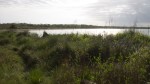
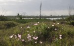
A view of what Cabeza de Vaca might have seen upon landing on Follets Island
A view of what Cabeza de Vaca might have seen upon landing on Follets Island
Excursion Three:
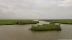
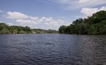
Upper Colorado River and East Matagorda Bay
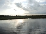
For some indigenous groups the Colorado river was considered a boundary river. Crossing it would be a sign of war. La Salle would name this river the Maligne because in the process of crossing it, one of his men was eaten by a large alligator.
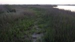
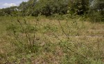
Takeover: wild grape vines.
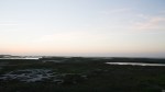
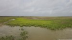
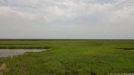
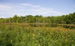
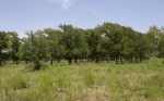
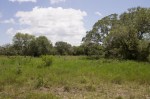
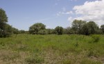
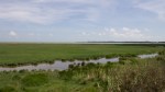
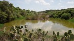
Environment around the Colorado River: This would make a wonderful campsite.
Environment around the Colorado River.
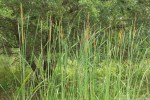
Cattails – During the colder months, the Karankawa would dig up and eat cattail roots. Cabeza de Vaca in his Account of Disasters lamented on the process of doing so: “I had to pull edible roots out of the water from among the canes where they were buried in the ground, which made my fingers so tender that the mere touch of a straw caused them to bleed.”
A bridge that now aids in the crossing of the Colorado. Further north, right out of La Grange there is a spot shallow enough that Indians and wild game (including buffalo) used it as a crossing point.
Excursion Three:
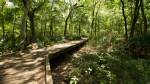
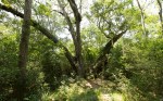
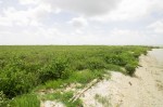
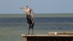
Brazoria Wildlife Refuge and San Bernard Wildlife Refuge
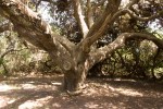
The largest oak in Texas, the San Bernard Oak.
A Golden Orb spider or known on the coast as a Banana spider.
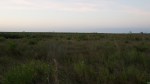
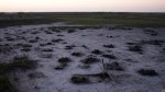
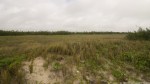
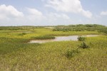
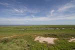
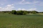
It looks like a field, but this Windows wallpaper-esque photo is actually of a shallow pond.
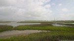
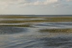
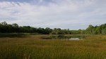
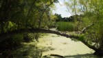
Salt water marsh
Cluster of cattails.
Excursion Four:
Visiting an artificial oyster reef
With Dr. Hanke and fellow UH SURFer, Erin Miller.
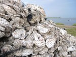
An example of a stack that will be placed in the water to attract oysters and stop marshland erosion.
The distance the oyster beds stretch. Behind there is fifty or so more feet.
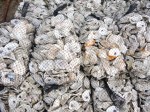
Recycled Oyster shells from local restaurants near Galveston Bay.
Oyster shell pile.
Smoothcord grass pushing further out.
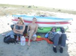
Excursion Five:
Kayaked from Port O’Connor to Matagorda Island
Took pictures of where La Salle made camp before establishing Fort St. Louis and also to took photos of the aquatic environment that the Karankawa relied on for their survival.
Taking a break before heading onto the next island on the path to Matagorda Island.
Do you see one of the expedition members curled up out of the sun?
With no means of shade for miles (no substantial trees or shrubs) we had to create our own shade from our kayaks while we waited for the sun to dip down to a cooler level.
Little Marys Cut – One of the numerous cuts around Matagorda.
With no shade for miles, after a day of rowing against the current, we stacked our kayaks to create our own shade. Although you can’t find shade, you can find muddy sand and numerous holes where crabs have burrowed (and unburrow at night to the surprise of some the expedition members).
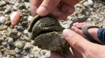
Out in the middle of the bay are sand bars that poke out during low tide. On these sand bars you find numerous hermit crabs.
Ship Sinking Sandbars
I am checking out one of the many hermit crabs on the exposed sand bars of Matagorda Bay.
The water depth can be deceptive if you aren’t paying attention.
Here I am, in the middle of a pass between two islands, up to my ankles in water.
The environment and location where La Salle and his men established their Grand Camp.
Matagorda Pass, the location in which La Salle’s Ship La Belle sank.
On the North side of Matagorda Island on the way to Sunday beach.
Excursion Six:
UH Coastal Center
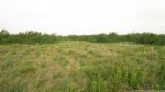
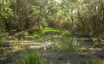
Even though the UH Coastal Center is located outside the typical range of the Karankawa, the sometimes swampy and marshy environment is a great representative of the Karankawas locale during the summer.
Excursion Seven:
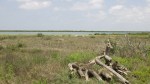
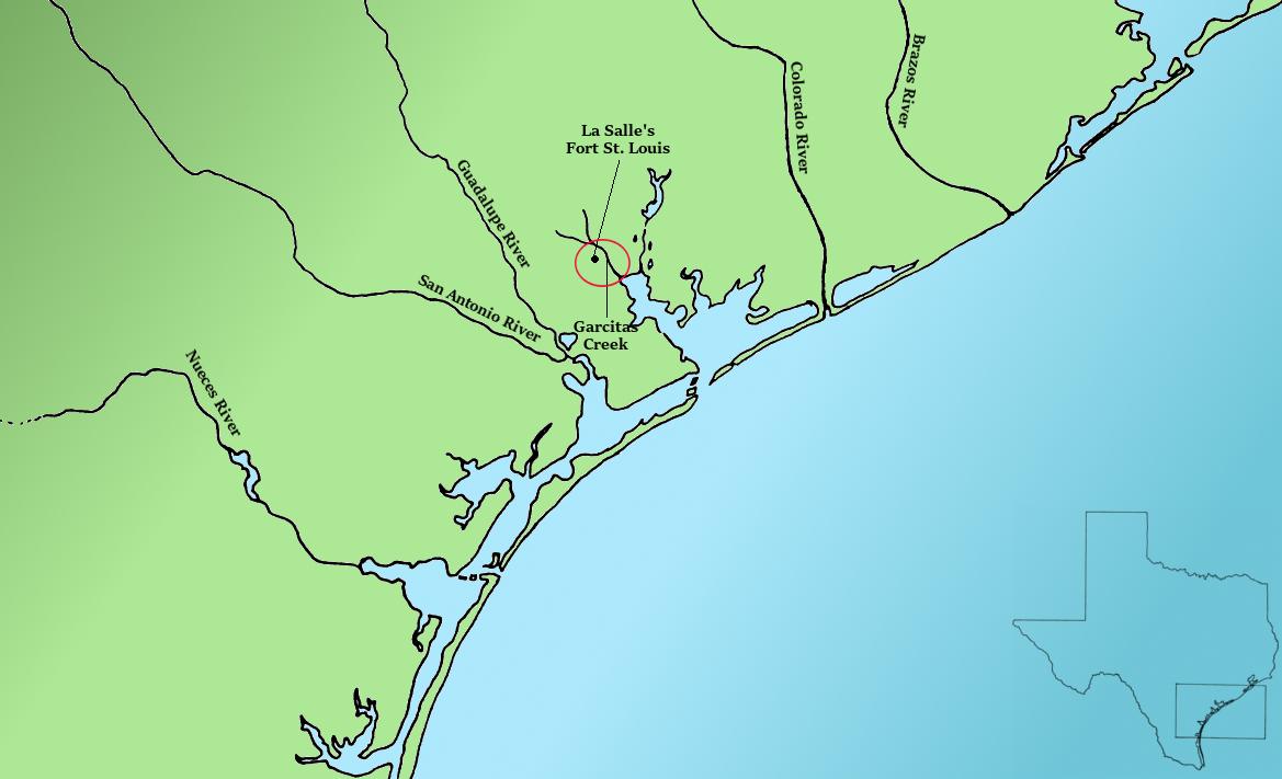
Garcitas Creek & Fort St. Louis
La Salle’s Fort St. Louis and Garcitas Creek | On this excursion we took pictures of the area around and near the Fort St. Louis site, including Garcitas creek which to my surprise looks more like a river than a creek.
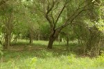
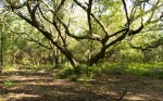
Environment surrounding Fort Saint-Louis.
White thorned acacia I believe
Fort St. Louis was built on a high point on Garcitas Creek. The height difference can be seen in this photo.
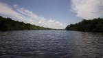
Garcitas Creek, along which La Salle built Fort Saint Louis.
Garcitas Creek northward
Excursion Eight:
Shy Pond, Indian Point, La Salle Monument, and Aransas National Wildlife Refuge